The White Gate
All houses mentioned below are on private property, please do not trespass.
On the way to The White Gate from St Imy’s shrine you are driving along one of the highest points of the road along the estuary taking in the beautiful view of the River Shannon, the Battery Point in Labasheeda and the Counties of Kerry and Limerick. The fact that we are situated on the banks of the Shannon with high quality land meant that the area was an attractive location for the English to award tracts of land for services rendered to the Crown. These land awards saw landlords and their families arrive and settle in large stately homes which they built for themselves.
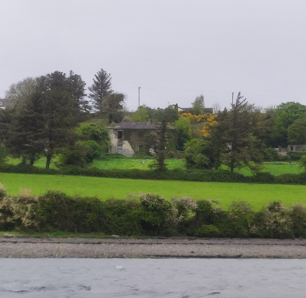
William’s Fort is one of these houses that would have been situated half way between St Imy’s Shrine and this gate. It is easier to see from the river than it is from the road.
It has associations with many families:
Reeves, Lloyds, Hodges, Studderts, Ross-Lewins, Holohans, Nugents and Malones.
The house was built in the 19th century on the side of a steep hill, comprising two storeys and facing south/south-west in the direction of Tarbert.
In 1855 this property was part of the Estate of William. E. Reeves (Burrane and Besborough). Twenty years later Mrs Jane Ross-Lewin of William’s Fort was recorded as the owner of 445 acres. After her death the English military took up residence there. The military in the house were in communication with military batteries on Scattery Island and in Labasheeda. During the Civil War a ship called The Indian carrying Free State soldiers passed up the river. Shots were fired at William’s Fort by the Free Staters.
The Nugent family were owners and resided there up to the 1930s. The house and the surrounding lands were bought by John Malone (father of T.V. Malone) in the 1930s. Although the structure still stands, it is uninhabited.
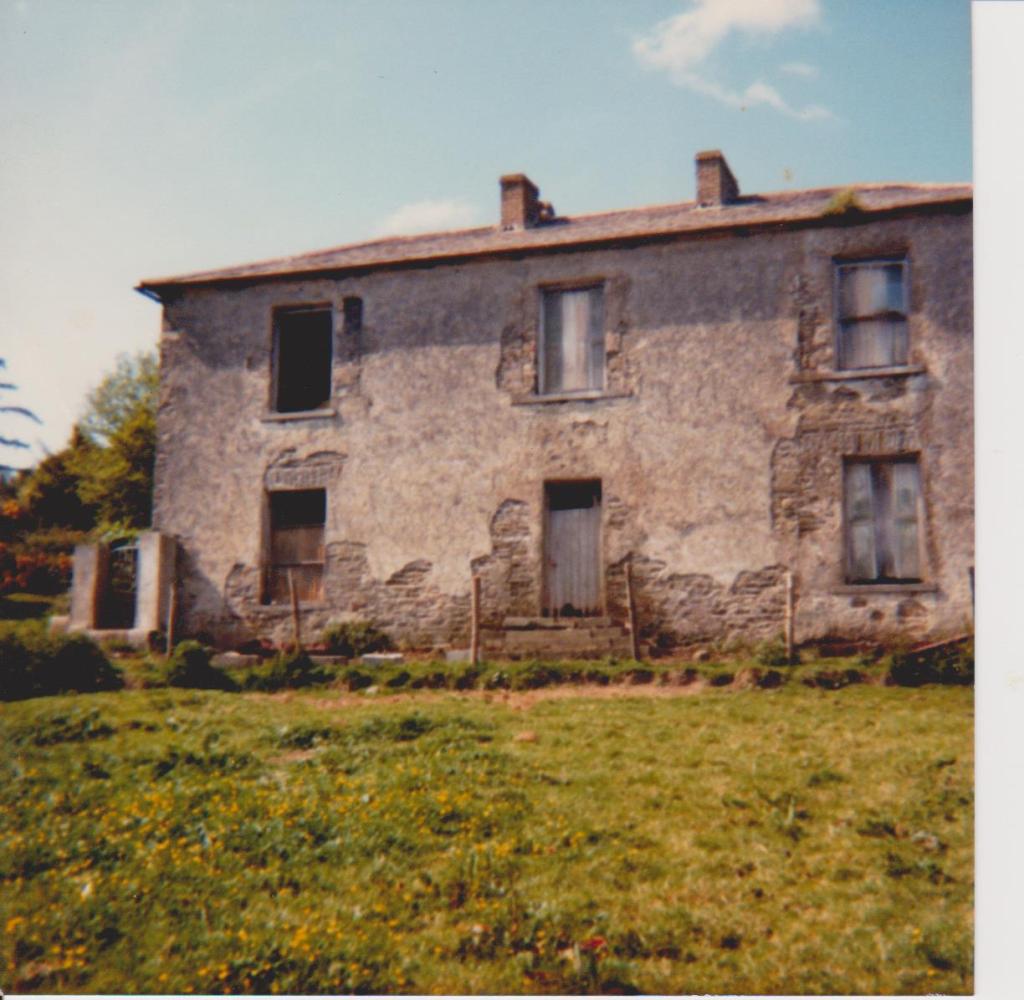
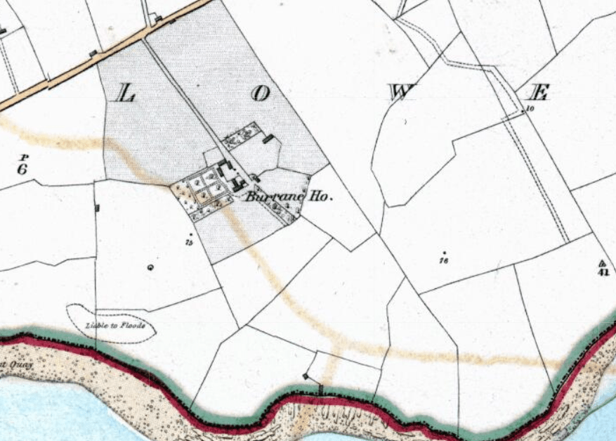
Burrane House
The white gate is a well-known landmark in Burrane. It is the entrance to Burrane House, which cannot be seen from the road. This house has been associated with:
Maunsells, Hodges, Spaights, Reeves, Brownes and the Fitzpatrick family (following the death of their aunt Nora Browne in November 1964).
The Hodges lived here for over 100 years following the marriage of George Hodges of Shanagolden Manor, Co Limerick to Mary Maunsell of Burrane in 1754. John Spaight was recorded as living here in1 837. Emily Hodges lived here in 1854. Even though it was referenced as the seat of Mr Maunsell it was the Reeves family of Besborough who held the head rent through the 18th century marriage of Robert Reeves with Grace Speight. William Maunsell Reeves died here in 1857; his son occupied it prior to his purchase of Besborough house.
This was a small 18th century, two-storey, three-bay house with a central front door, which faced south over the Shannon estuary. A yard and utility buildings adjoined the rear. A two- acre walled garden is situated to the west. The house was completely demolished at the beginning of the 20th century. The present two-storey house was built c.1940 by the Fitzpatrick brothers, Knockerra, for the Browne family. You can see traces of the original house, such as the kitchen garden with its fine walls and gates, to this day.
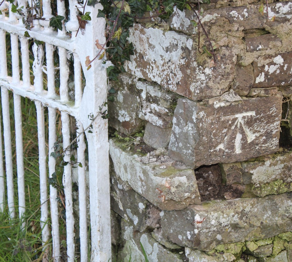
There is a sapper’s mark chiseled on one of the stones on the right pier. This benchmark or sapper’s mark denotes the elevation/altitude above sea-level. They were put in place in the 1800s for Ordnance Survey Ireland.
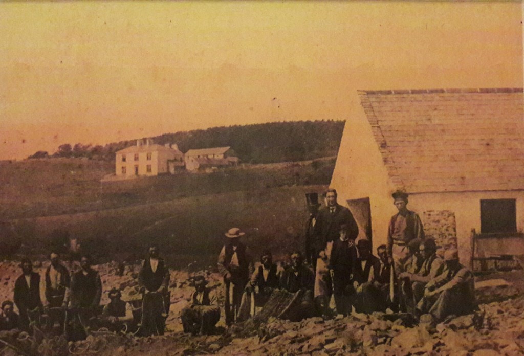
There was also an ice-house at the shore which you could also be seen in the fishermans photo above.
